The Grampians National Park, known as Gariwerd to the traditional owners, is located in western Victoria and offers a range of hiking trails. One of the best hikes in the Grampians is the hike to the summit of Boronia Peak which stands at 985 meters. This hike is less popular than some of the other hikes in the region but boasts epic views. The hike to the top of Boronia Peak is moderate to difficult and takes about four hours round trip.
Hiking to Boronia Peak
Boronia Peak is located at the northern end of the Mt William Range to the east of Halls Gap. Despite being a favourite of mine, it doesn’t seem to get as many walkers as the more well-known attractions across the valley in the Wonderland Range, which makes for a more peaceful hike. I parked at the popular Brambuk National Park & Cultural Centre and started the hike.
Fyans Creek is an easy gentle walk along the creek to Tandara Road. Lots of kangaroos and emus in the area. From Tandara Road, I joined the Boronia Peak Trail by crossing the bridge into fire trails. The trail is well-signed and posted.
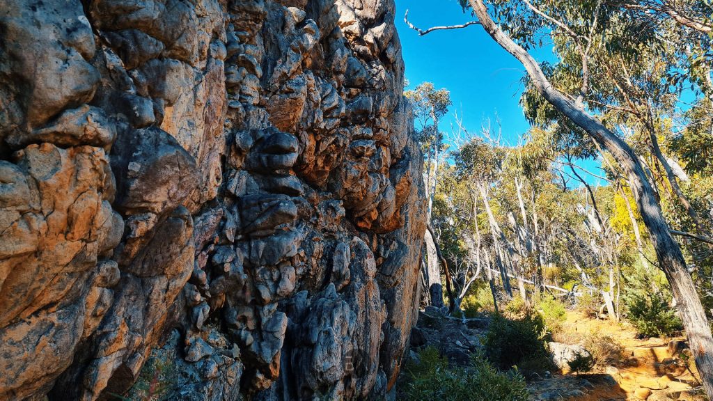
You come to a t-intersection where the climb up to the peak begins. I started making the uphill journey to the peak. It’s slow going, all uphill with rocky terrain. From here, it’s a return trip to Boronia Peak which involves a rocky and uneven path. As you wind your way to the base of the peak, you’ll be treated to epic views of the surrounding areas beyond Halls Gap.

Climbing to the Summit of Boronia Peak
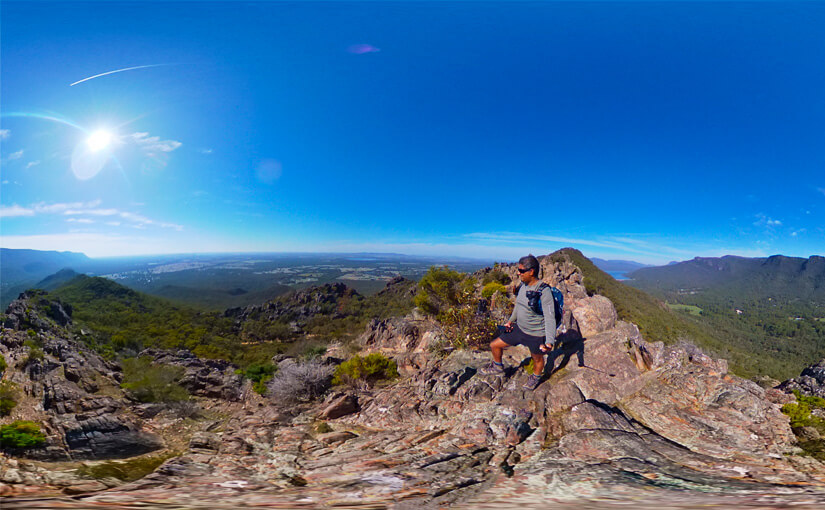
The last 50 meters is all rock scrambling to make your way to the top. The view from the top of Boronia Peak is well worth the effort, offering 360-degree views of the area. However, if you’ve never scrambled over rocks before or aren’t a fan of heights, this section may be challenging. But, for those who have a reasonable level of fitness and a sense of adventure, the Boronia Peak walking trail is a great hiking experience.

The Rewarding Views from the Top of Boronia Peak
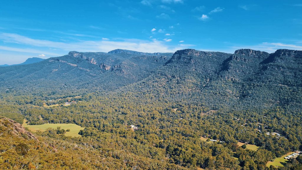
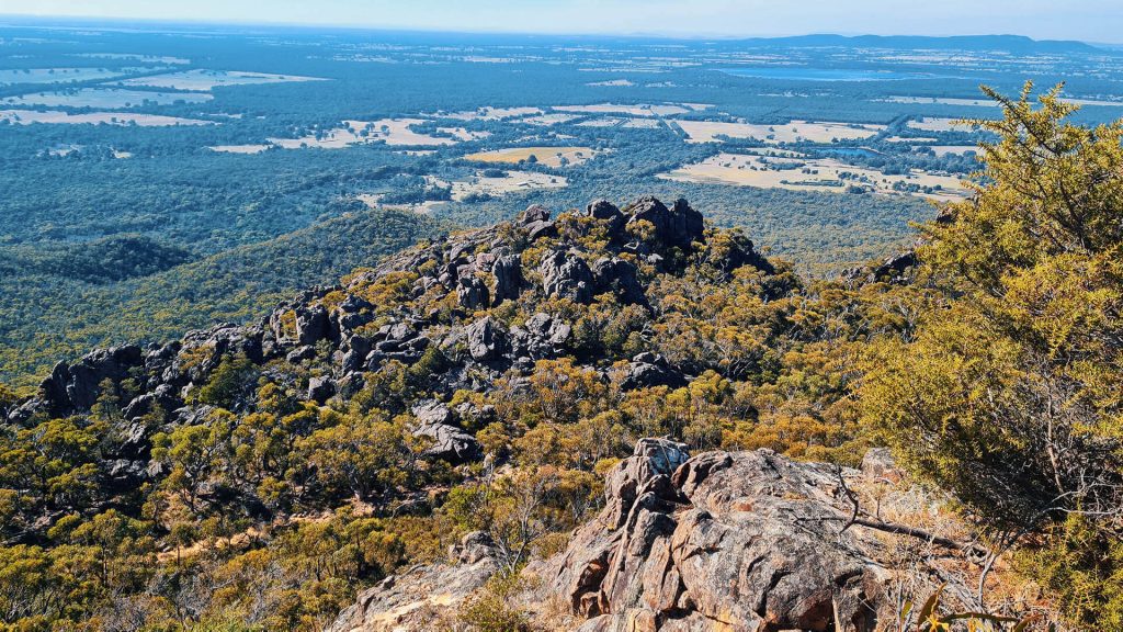
Once at the top, I was rewarded with superb views towards Lake Fyans in the east and over the Fyans Valley. For people that have walked in the Wonderland Range, Boronia Peak offers up a bit of a different perspective of the immediate area. Looking west, I had Halls Gap below me, across the other side of the valley the cliff lines and jagged peaks of the Wonderland Range.
Looking east over Lake Fyans and the flat lands towards Stawell, I could see Mt Langhi Ghiran and Mt Cole in the distance. The view down to Lake Bellfield and the Major Mitchell Plateau was also stunning. I spent almost 90 minutes just having lunch, sitting and taking in the breathtaking scenery.

The Walk Back to Halls Gap
Leaving the summit the walk down was quick. Even though I think sometimes walking downhill is a lot tougher than going uphill. The knees got a good workout as I made my way back to the treelines and Fyans Creek. From here, you have two options. One option is to continue on a small loop circuit and visit the Brambuk Aboriginal Cultural Centre. The other option is to cut through Tandara Road, get back out onto Grampians Road, and return to the car park. I headed straight to the car park as seen on my GPS data provided below.
Overall, the Boronia Peak Trail is a medium-grade hike that takes around 3-4 hours to complete and covers a distance of around 6.6km. Yes, you will probably be swearing and cursing all the way up as your heart rate increases on the steep incline, but the summit views of the Grampians are well worth the time, effort and sweat.
Highlights of the Walk
- Rock formations and landscape.
- Towering cliffs, rocky outcrops and massive boulders
- Feels like you are in another world
- Stunning 360 views of Halls Gap and surrounding areas
GPS Data and Gear
- GPS Data (Wikiloc) can be found here
- GPS data (Garmin) can be found here
- Hiking Gear Used – See Here
